Live Broadcasting by Ustream
Sunday, May 2, 2010
Sunday Severe Weather Live Blog
Hello everyone, parts of Southeastern KY are currently under a tornado watch as well as a flash flood watch. Going ahead and posting up the live tools and I'll send out a tweet and FB status in case something moves into Laurel or the surrounding counties.
Live Broadcasting by Ustream
Live Broadcasting by Ustream
Sunday, April 25, 2010
Severe Wx Moving Out
Had some incredible severe weather over south eastern KY. The worst of it is moving out and now we're left with scattered showers and gusty winds until the cold front passes. I hope you enjoyed the severe weather coverage today. I'm worn out after it so to bed with me. Take care until next time!
Saturday, April 24, 2010
Live Severe Weather Blog 2 PM
15 
Latest local radar from Accuweather:
6:15 Update: Blog going live at 7:30 to track severe weather as it moves into eastern KY. Radar starting to act up a bit again but hopefully it will be worked out as we move into the evening.
4:15 PM Update: I'm hoping the rain we're seeing will help lessen the severe threat for later. However have to keep an eye out now for flash flooding.
2:00 PM Update: Live blog going to be postponed till we actually have severe weather in the area. Still having some issues with my GR Level 3 Radar updating. I will be posting here, on twitter @wxmanshane, and at Chris Bailey's weather blog (Link on the left hand side.)
1:35: Looks like a violent tornado rolled through the town of Yazoo, MS. Trained spotters on the ground reporting EF-4 damage. 1st line of showers moving into south eastern KY right now. These could have some gusty winds and lightning with them.
1:00 Update: Radar streams of level 3 data (What I use for my Radar stream) is overloaded. The last image to come in is almost 50 minutes old now. Also The Weather Channel reports of 30 homes being destroyed in Eagle Bend, Mississippi. Major tornado likely heading towards Yahoo City, MS.
12:50 Update: High Risk zone from SPC has been expanded to include portions of south central and western KY. Tornado Watch for that area coming soon.
Hey everyone, looks like severe weather will be heading our way later today. I'm going ahead and getting everything set up for a Live Severe Weather Blog to start at 2 PM. If the severe weather is not in our area by that point it will be pushed back but I wanted to go ahead and get everything set up and ready.
Live Broadcasting by Ustream
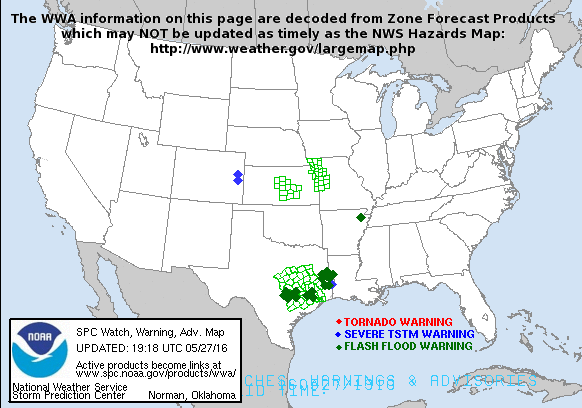
You can see live updating radar in the top box. I'm going to leave the latest from SPC down below:


Subscribe to:
Posts (Atom)


