Wednesday: Mostly Cloudy with a chance of showers and thunderstorms some of which could be strong to severe in the evening. High of 68, Low of 51.
Thursday: Should be partly cloudy with a High of 50 and low near 39.
Friday: Mostly Sunny, with a High of 49, and Low of 35.
Saturday: Chance of rain showers. Low of 36, High of 48.
Sunday: Chance of early rain showers with maybe a flurry mixed in early. Otherwise Mostly cloudy. Low of 31, High of 42.
Forecast Review: Forecast: Partly Cloudy with a chance of showers, maybe a thunderstorm after noon. High of 64, Low of 48.
Actual: 67/58 Showers. I'm going to get the low and high at the same time again one of these days, clouds are killing this rookie right now.
Forecast discussion: So my thoughts really haven't changed much from yesterday. We are currently under a high wind watch. This means wind gusts up to 60 mph are possible, as well as sustained winds near 30 mph. Winds could be stronger inside any thunderstorms that develop tomorrow. Here's a map of the watch.

As you can see, the entire state is under this watch. This is a higher level watch than the typical wind advisories we see, so make sure to secure or bring in any lawn furniture or decorations. Also a good idea to bring in those garbage cans cause they can go flying real easy.
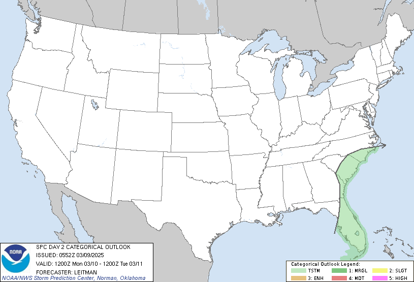
The Storm Predicition Center *SPC* Has us under a slight risk for Severe Thunderstorms tomorrow. This might be upgraded later in the day and this map will auto update.

Radar continues to show showers over the state today, so it's going to be interesting to see if they clear out tonight before our 2nd system hits tomorrow. If we get any kind of sunshine tomorrow the storms will be stronger than they will be if we stay overcast the entire day tomorrow.

Here's part of the NWS Jackson's discussion about the storms tomorrow:
MAIN EVENT WILL BE A POWERFUL STORM SYSTEMI expect the strongest of the storms to hit London between 1 PM and 7 PM tomorrow. So just stay weather aware tomorrow. And while I'm concerned about these storms, I think the more significant impact will be north and of London, in the areas effected by the ice storm. So there ya have it. I'll have a small update later tonight, until then take care.
PASSING NORTHEAST THROUGH THE MIDWEST AND
ITS ASSOCIATED COLD FRONT MOVING THROUGH
THE LOCAL AREA. STRONG WIND FIELDS WILL BE
ASSOCIATED WITH THE STORM...WITH A
POTENTIAL FOR DAMAGING WINDS TO MIX
DOWN TO THE SURFACE.
Timing and Jet Streak Break Down:
Okay, just to draw things out because words sometimes don't do the trick, I made pictures breaking down the Jet Streak for this storm. Where there's an R, there's rising air, which helps thunderstorms develop, where there's an S, that means sinking air, which hampers storm development.
Wed Afternoon:

Wed Evening:

So initially London starts out in the sinking air, but should be in the rising air by the time the squall line starts. Sim Radar from the NAM supports this.
Wednesday Afternoon:

Wednesday Evening:


1 comment:
Shane, what a great job on the video blog. That was awesome man! I have to agree with you on the straight line winds..that looks to be a bear tomorrow afternoon when that blows through. I hope the damamge from these winds will be minimal in our area..but I'm afraid areas damamged by the ice storm will have a lot of damage with these winds given the waterlogged ground, leaning trees, and damaged trees. Good post
Post a Comment