
So when looking at severe weather potential, there's a little cookbook of ingredients I like to look at. Without getting into too much meteorological rhetoric, you need 4 ingredients:
1. Instability
2. Wind Shear
3. Lift
4. Moisture
Okay lets go through today's set up and see what we have.
Instability is the biggest thing working against severe weather today. Usually to generate instability you need nice Sunny Skies and tons of energy being cranked in from the sun. Lets look at the latest visible satellite.

As you can see the cloud deck is nice and thick this morning except over a few parts of south central KY, and western TN. This should limit instability, and the latest RUC model agrees with it's measurement of CAPE.

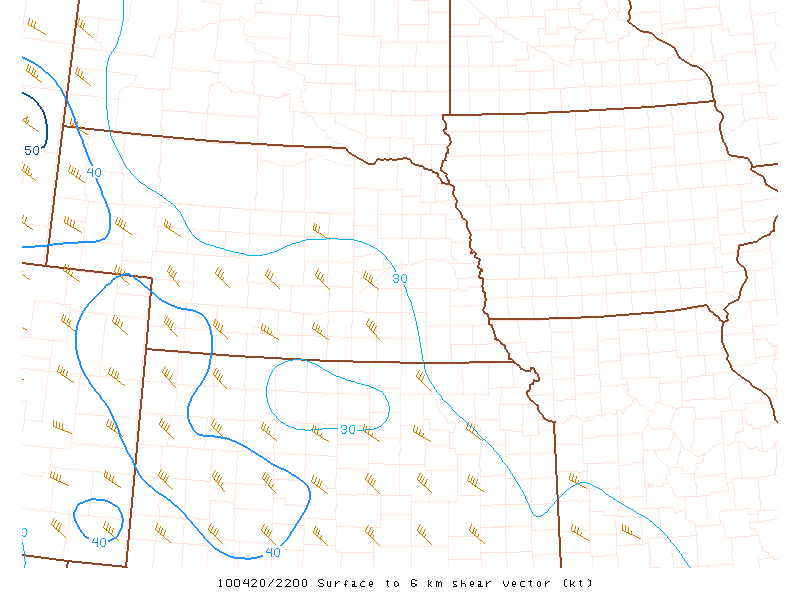
Wind shear is something we have a decent amount of today.
Lift today is going to be caused by the cold frontal passage, so there is no question we will have lift caused by the front. Moisture is looking decent today with dewpoints in the 50's and forecasted to get near 60.

So my thoughts are that south eastern KY's biggest threat will come in the form of a squall line passing through the state tonight. High winds will be our biggest concern tonight. I will be at work when this thing passes so here's a map with the latest watches and warnings... I think it should auto update.
 So keep an eye on the sky and an ear to a NOAA weather radio or local media outlet to get the latest info.


No comments:
Post a Comment