Tuesday: Scattered showers and thunderstorms, otherwise mostly cloudy. High of 75.
Wednesday: Scattered showers and thunderstorms, otherwise mostly cloudy. High of 68, Low of 62.
Thursday: More of the same, scattered showers and thunderstorms, otherwise mostly cloudy. High of 77, Low of 55.
Friday: Once again more scattered showers and thunderstorms, otherwise mostly cloudy. High of 72, Low of 58.
Saturday: More scattered showers and thunderstorms, otherwise mostly cloudy. High of 63, Low of 56.
Forecast Discussion:
So the wet pattern continues. So what exactly is causing this extended period of unsettled weather? I'll try to answer that for ya. Basically the jet stream is a parked right on top of us.

And as it kind of waves back and forth on top of us for the next week, we'll see small low pressures systems over top of us, each one bring us a chance of showers and thunderstorms. And the possibility is there to see more heavy rain. Here's the 7-day rain out look from HPC:
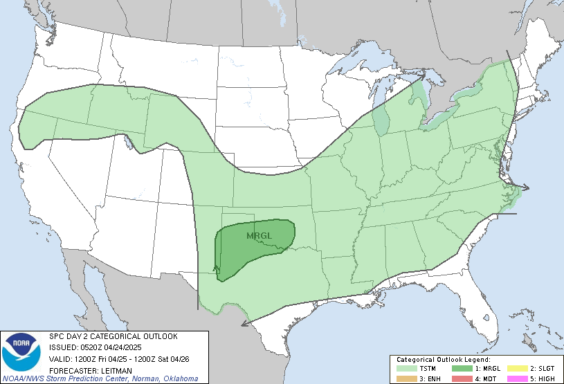
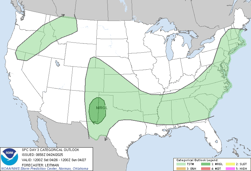
 4 inches of rain over the next week is the last thing southern KY needs right now. There were already several reports of flooding over the weekend, and if we keep adding on more and more rain I suspect it will only get worse. We also have a slight chance at severe weather for Wednesday and Thursday.
Wed:

Thurs:

I'll keep an eye on it and will have more info as it becomes available. I'm working morning shift again tomorrow so I'm not sure when I'll update again just yet. We'll talk again soon.


No comments:
Post a Comment